A Program Built to Be Invisible
Secrecy was not a side effect of the Soviet space program; it was a design principle. The location of the launch site, the shape of the rockets, the identity of the chief designer, all were classified. When a launch failed, it had simply never been planned. The USSR controlled its own story by controlling what the outside world could see.
The weakness in that approach was physics. Rockets are enormous, they need sprawling fixed launch complexes, and those complexes can be photographed from above. The same site that lofted Sputnik also tested the intercontinental missiles that could carry a warhead to American cities, which made finding and watching it a top national priority for the United States.
1957: A Spy Plane Finds the Rocket Base
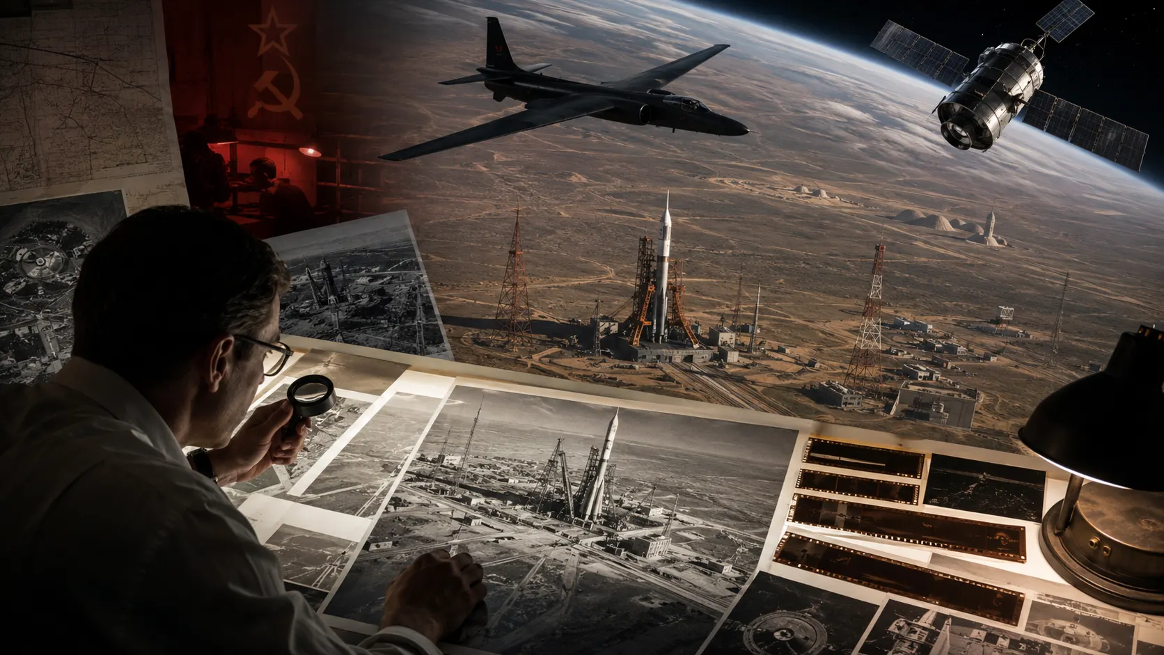
The breakthrough came from the U-2, the high-altitude reconnaissance aircraft that overflew the Soviet Union in the late 1950s. In August 1957, two U-2 missions photographed the Tyuratam range for the first time and confirmed what it was: an active launch site with one completed pad and several more under construction.
As the National Security Archive's documentary history of the effort puts it, this was the first Soviet missile-program installation ever imaged by aerial reconnaissance. The very first photograph, taken on a mission in early August, was shot at an oblique angle and, in the words of a contemporary CIA briefing paper, 'provided only limited information,' but it was enough to fix the site on the map.
The timing is worth sitting with. The United States photographed the Soviet rocket base roughly two months before that same base launched Sputnik and stunned the world. The launch was a surprise to the public, but the place it came from was already in an American intelligence file, a point that connects directly to what the CIA knew about the Soviet program.
The Eyes in Orbit: CORONA
The U-2 was vulnerable, as the May 1960 shootdown of Gary Powers proved. The answer was to move the cameras into space. CORONA, America's first photo-reconnaissance satellite program, began returning film from orbit in 1960, dropping capsules that were caught in mid-air on their way down.
The effect on intelligence was transformative. Instead of risky single overflights, the United States could now survey the entire Soviet landmass systematically. According to the declassified record, by June 1964 CORONA satellites had photographed all 25 of the Soviet Union's known ICBM complexes.
Complex J: Photographing the Moon Rocket
Reconnaissance also turned its cameras on the Soviet Moon program. At Tyuratam, a vast new launch complex took shape to handle the N1, the giant rocket meant to carry cosmonauts to the Moon. American analysts labeled it 'Complex J,' the same launch site the CIA's estimates called Area J.
From 1963 onward, the CORONA and GAMBIT satellites photographed Complex J in growing detail. Analysts recognized it for what it was: the Soviet counterpart to the Apollo program's giant Launch Complex 39 in Florida, hardware built for a Moon shot. They could watch the pads, the assembly buildings, and the rail lines, and gauge how the secret program was progressing.
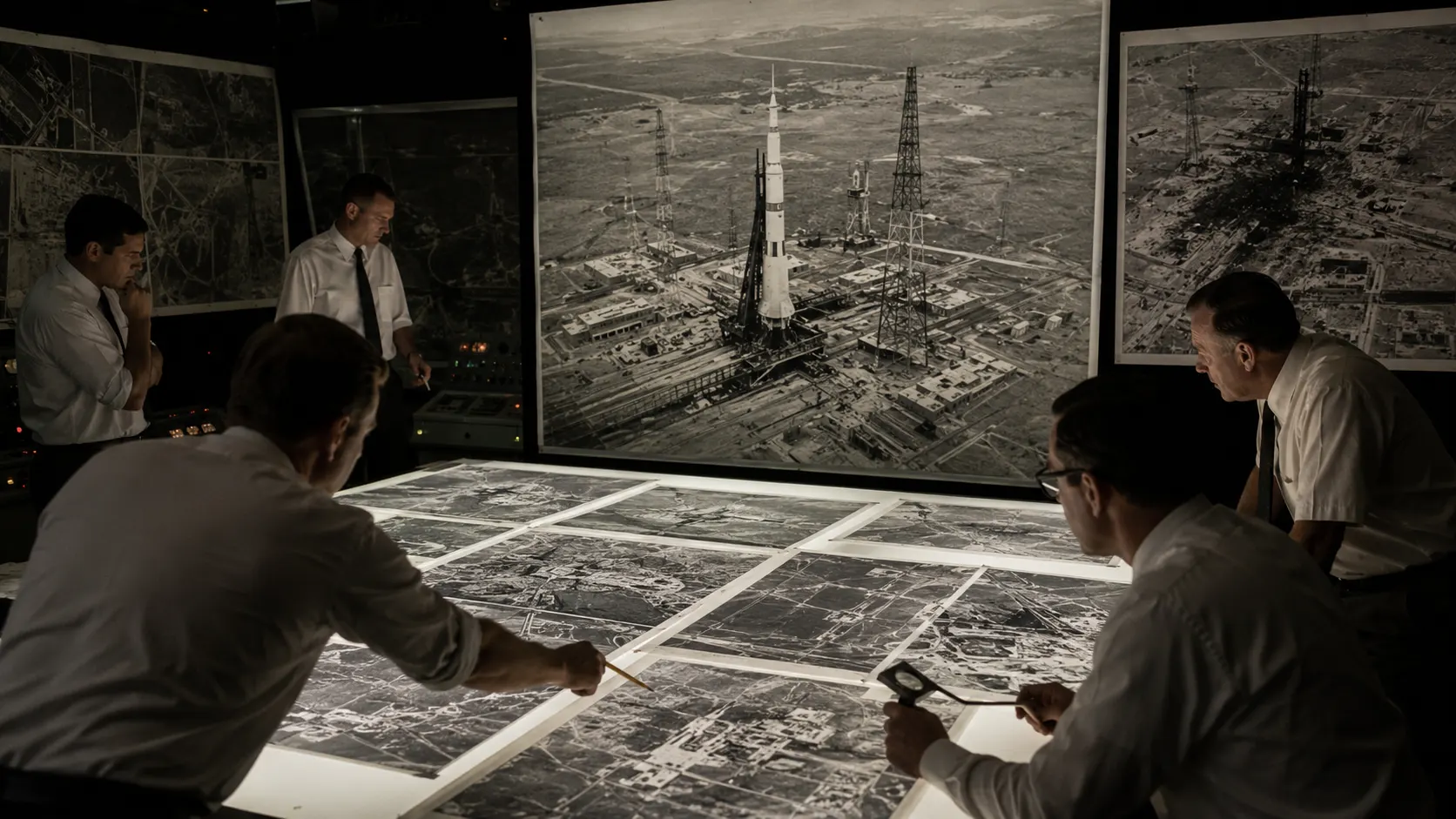
That orbital vantage point caught one of the program's defining disasters. In July 1969, an N1 fell back onto Complex J seconds after liftoff and exploded with a force among the largest non-nuclear blasts in history, wrecking the launch site. Reconnaissance recorded the aftermath, and the scale of the destruction in the film told its own story about how the Moon race was going. The rocket and its failures are covered on the scale of Soviet rockets and rocket development pages.
Straight Into the Oval Office
This was not abstract analysis filed away in a vault. Declassified entries from the President's Daily Brief, the most sensitive intelligence summary produced for the President, show reconnaissance on the Soviet missile and space programs flowing directly to the White House through the 1960s and 1970s.
The briefs describe how satellite photography located Soviet launch complexes and detailed the number and type of launchers, the buildings, and the ground support equipment, the granular picture of an adversary's program that only overhead imagery could provide. What presidents like Kennedy said in private about the race, explored in the Kennedy space tapes, was informed by exactly this kind of reporting.
The Reconnaissance Record, by the Numbers
Frequently Asked Questions
How did the United States first find Baikonur?
By spy plane. In August 1957, two U-2 reconnaissance missions photographed the Tyuratam range, now the Baikonur Cosmodrome, for the first time, confirming it as an active launch site with one finished pad and others under construction. It was the first Soviet missile installation ever imaged from the air, and it happened about two months before the site launched Sputnik.
Did spy satellites photograph the Soviet Moon rocket?
Yes. CORONA and GAMBIT reconnaissance satellites photographed 'Complex J,' the launch complex built for the N1 Moon rocket at Tyuratam, from 1963 onward. Analysts identified it as the Soviet equivalent of the Apollo program's Launch Complex 39 and even recorded the aftermath of the N1's catastrophic 1969 pad explosion.
What was the 'missile gap,' and how did reconnaissance end it?
The missile gap was a late-1950s fear that the Soviet Union was racing ahead of the United States in intercontinental missiles. CORONA satellite imagery resolved it by counting the actual Soviet ICBM complexes from orbit, showing the Soviet force was far smaller than feared. By June 1964, all 25 known complexes had been photographed.
Can I see the declassified spy-satellite images?
Yes. A 1995 executive order declassified hundreds of thousands of early reconnaissance images. The U.S. Geological Survey hosts over 860,000 CORONA-era frames, free to search and download through its EarthExplorer portal, including imagery of Soviet space and missile sites.
Sources
- National Security Archive: Starting to Crack a Hard Target (U.S. intelligence on the Soviet missile program through 1957) - the first imaging of Tyuratam
- National Security Archive: CIA U-2 Collection of Signals Intelligence, 1956-1960 - the August 1957 U-2 photography of Tyuratam
- National Security Archive, EBB 13: U.S. Satellite Imagery, 1960-1999 - the CORONA record and the 25 ICBM complexes
- Air & Space Forces Magazine: The Secret at Complex J - spy satellites and the N1 launch complex
- USGS EROS: Declassified Satellite Imagery - download the original frames
- More archives on the research and primary sources page.